
Date uploaded: 2022-01-23 02:05:24
The tremendous eruption of the Hunga Tonga-Hunga Ha'apai volcano was the blast heard and seen around the world.
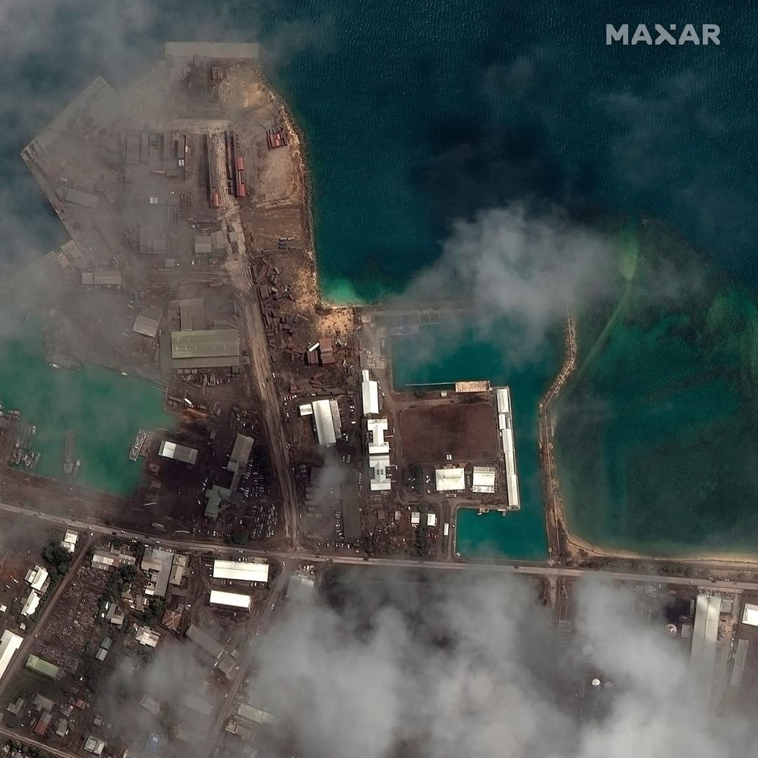
These satellite images reveal the impact of the undersea volcano eruption and tsunami.
Shock waves rippled at least twice around the globe, moving at the speed of sound as they radiated outward from the remote eruption about 40 miles north of the largest island in the Kingdom of Tonga.
One of the biggest eruptions in decades sparked high interest around the world, though it was tempered by the loss of life and destruction in Tonga. Scientific researchers have been impressed not only by the eruption's massive size, but by the volume and timing of data being collected and shared.
Sophisticated satellites and monitoring equipment captured the mushroom cloud of ash, seawater and steam and its resulting waves in the atmosphere and oceans in real time. Eyewitnesses and researchers posted observations on social media, comparing notes on the flow of data that will be studied for years to come.
For more on the details of of how the Tonga eruption was felt around the world, visit the link in our bio.
📷: @maxartechnologies
#tongovolcanoeruption #tongotsunami
CORRECTION: A previous version of this post did not meet USA TODAY social posting terms